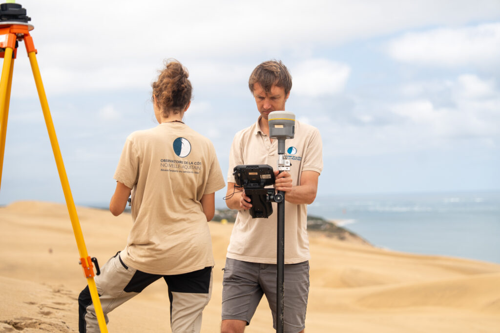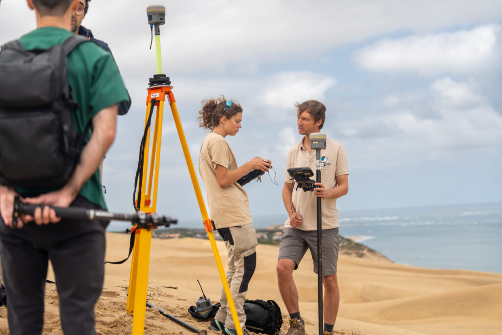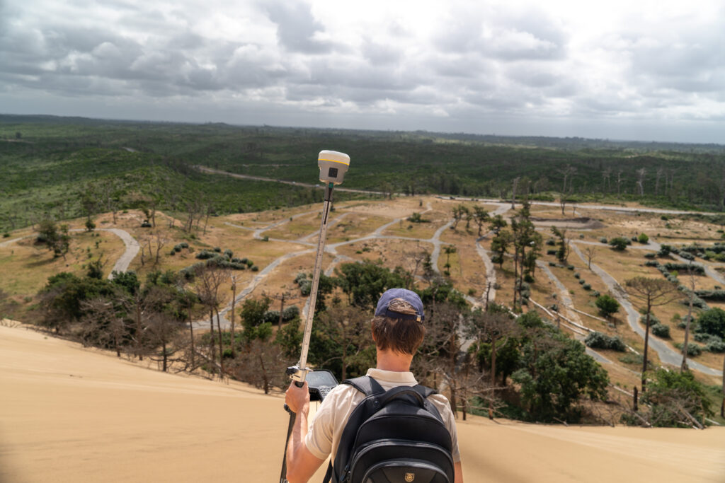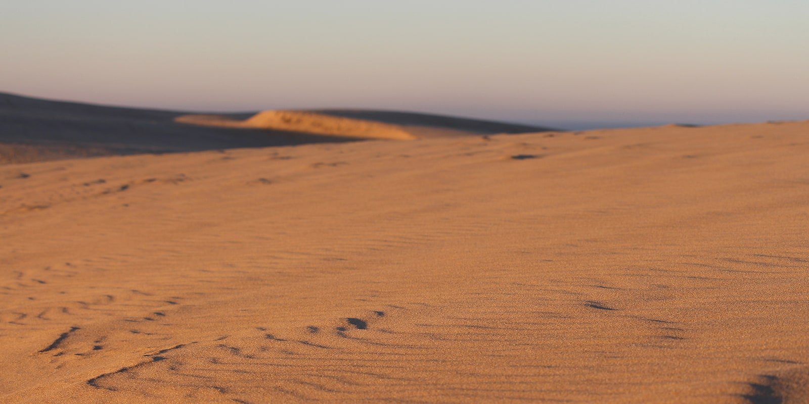
On Monday, June 8, three agents of the New Aquitaine Coast Observatory were lucky enough to explore the Dune du Pilat for a field mission in an exceptional setting.
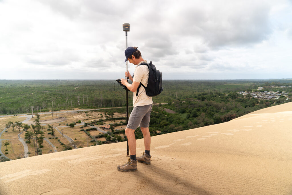
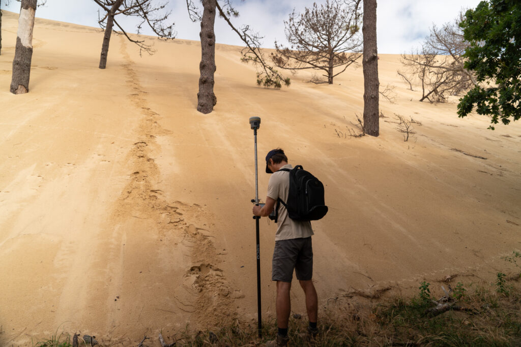
During this day, the Observatory's agents survey this exceptional natural monument, 2.9 km long and 616 m wide, and thus cover the equivalent of 7 times the ascent of the Dune in order to study its evolution over the years.
Since 2009, these measurements have been taken annually to monitor the advance of the Dune du Pilat onto the forest and the shifting coastline. Collecting this data helps address various issues related to dune encroachment. The Joint Syndicate of the Great Dune of Pilat actively participates in monitoring: during each forecast bulletin "erosion monitoring of the Storm Network of the Observatory", the Joint Syndicate is asked as an "observer" of the monitoring of the erosion or accretion of the dune ridge on the Dune.
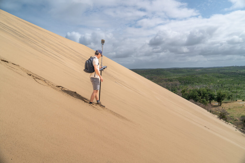
Very mobile by nature, the dune evolves over the months and years, gaining or losing a few grains of sand depending on the year. In May 2025, the highest point of the Dune was measured at 101.7 meters altitude, 0.7 m higher than the height recorded in 2024 at the same time.
See you after the summer to find out the height of the Dune and the evolution of the coastline, once the data has been processed and analyzed by the New Aquitaine Coast Observatory!